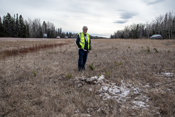
Each year, deer-vehicle collisions (DVCs) take a profound economic and emotional toll across Minnesota. How many thousands of DVCs—and where exactly they are most likely to occur—is the focus of a MnDOT-sponsored project by University of Minnesota researchers.
The work, which included data collection and modeling, started as a pilot project in the Duluth area in 2021 and was extended to the central area of the state in 2022. A project database was populated with location data for thousands of DVCs, allowing researchers to extrapolate and model the whole state.
An interactive map developed for the project applies the model to every road segment in Minnesota. Each segment is color-coded based on the estimated DVC risk. Clicking on segments shows attributes such as road width and vegetation type, which in turn provide a predicted likelihood of a DVC.
From a traffic engineering perspective, the data about road segments provided some unexpected findings. “What was somewhat surprising to me was things like how curvy the road is,” says Raphael Stern, one of the project leads. “Turns per mile. I would have expected that to correlate with higher crash rates, just because you always think of the example where…there's a deer around the corner and you just can't see them,” he says.
“The other was road width. I would have expected [with] wider roads, you have better visibility, you can see the deer better. But it turns out the wider roads had much higher DVC crash risk.”
Because speed correlates highly with risk, Stern explains that curves are less risky for DVCs because speed limits are reduced and drivers tend to slow down. Conversely, on wider roads, even with high visibility, the risk is great. “You think of a rural highway where you might be traveling 65 miles per hour, and that’s the point where if you can’t see the deer in time, the DVC becomes pretty likely,” he says.
The researchers are putting the final touches on their research report, which they expect to provide to MnDOT this summer. They note that their findings could be used to help transportation professionals most cost-effectively target the highest-risk roads for interventions such as high fencing or even motion-activated warning sensors.
—John Siqveland, CTS communications director