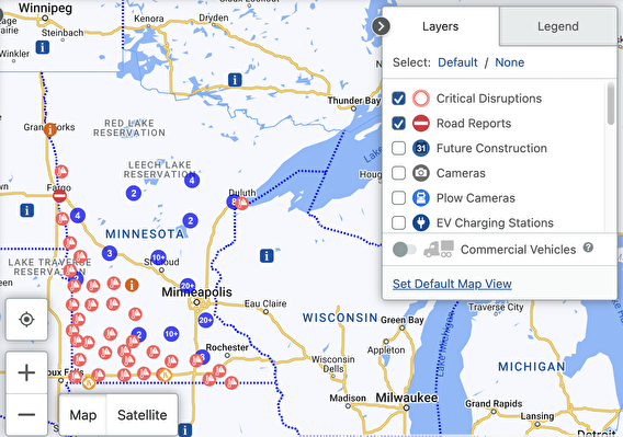
Drivers increasingly rely on navigation systems to get around, and they want dependable alerts about road closures. While state highway closures are reported effectively, Minnesota doesn’t have a consistent system or tool for ensuring that road-closure updates from local agencies are added to navigation systems.
To address this need, the Minnesota Local Road Research Board funded a project to explore the development of a streamlined reporting system. The end goal is to establish a consistent system for disseminating road-closure notifications in Minnesota—both to the general public and to third-party navigation companies such as Google and Apple.
Researchers and a technical advisory panel considered three options for developing such a system: creating a statewide independent system from scratch, partnering with MnDOT to adapt its existing statewide condition reporting system, and creating individual road-closure feeds for counties and cities. They ultimately recommended adapting MnDOT’s existing system into a single, statewide road-closure notification system.
In addition, researchers wrote a four-page guide—included as part of their final report—that local agencies can use when reporting road closures to third-party navigation companies. (Currently, each local agency must provide road-closure information directly to the third-party navigation apps.) The guide lays out the types of information companies need (street names, closure timeframes, intersecting streets, etc.) as well as the preferred communication channels and formats for each company and how to set up automated notification systems when possible.
Based on the findings, next steps for local agencies include holding discussions with MnDOT and identifying funding sources and administrative responsibilities.
Learn more: